
Geospatial Engineering
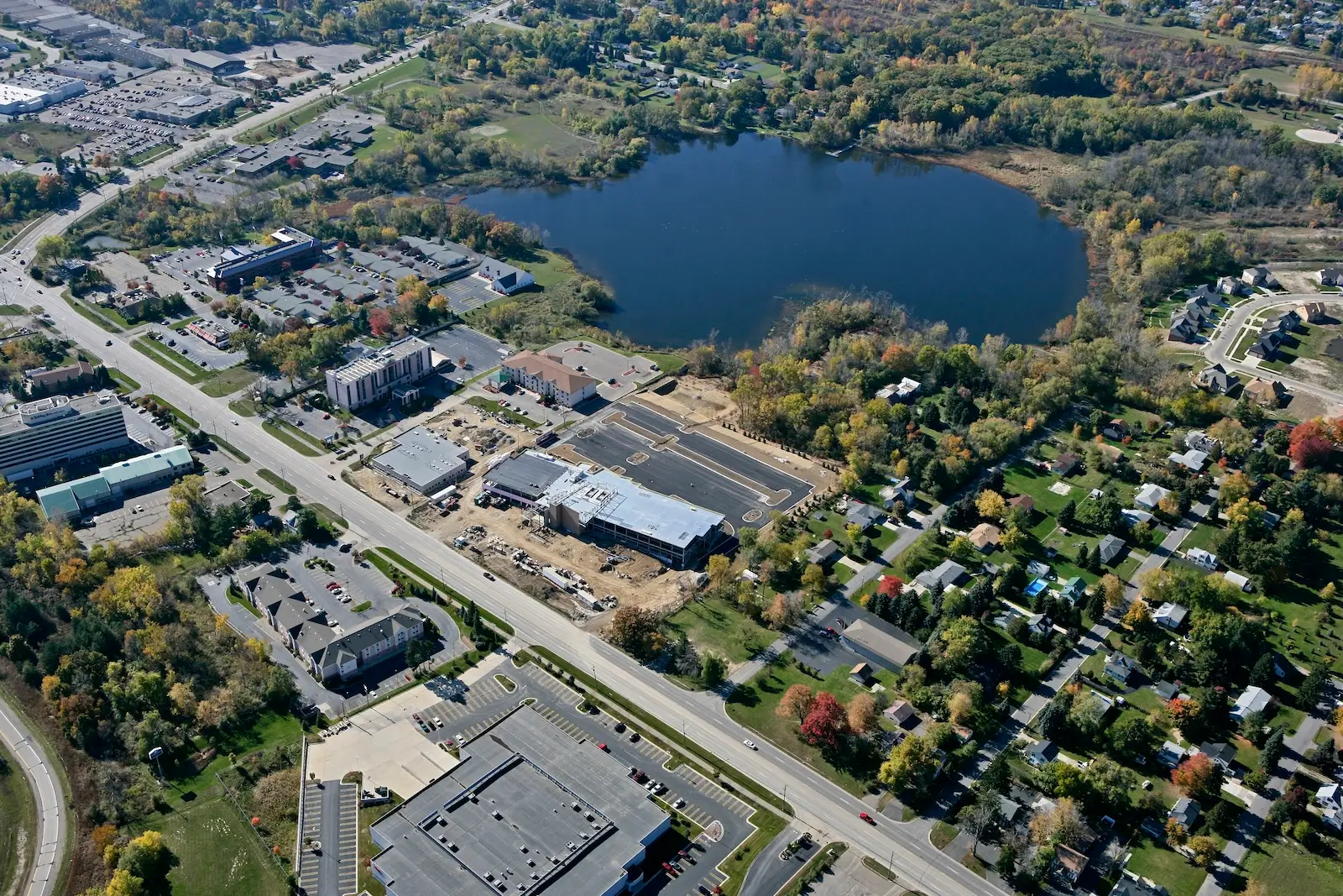

Engineering-Grade Data
You Can Trust
Our geospatial operations are governed by rigorous quality assurance and quality control standards, standardized workflows, and deep technical expertise, ensuring every dataset is accurate, defensible, and ready for engineering applications.
The result is faster project delivery, reduced risk, and defensible data that clients can trust throughout planning, design, construction, and long-term asset management.
Geospatial Services
Transportation & Railroad Corridor Mapping
Capture comprehensive corridor data to support transportation planning, roadway improvements, railroad projects, asset management, and infrastructure modernization efforts.
Large-Scale Mobile, Terrestrial & Aerial LiDAR Programs
Collect highly accurate spatial data at virtually any scale through integrated ground-based, vehicle-mounted, and airborne LiDAR technologies.
Drone Mapping & Photogrammetry
Utilize unmanned aerial systems (UAS) to efficiently document project sites, generate high-resolution imagery, perform inspections, and create detailed mapping products.
Topographic Modeling & Terrain Analysis
Right-of-Way & Asset Inventory
Document, manage, and assess transportation assets, infrastructure components, and right-of-way conditions with reliable spatial intelligence.
Utility & Infrastructure Analytics
Support utility management, drainage evaluation, infrastructure planning, and condition assessments through advanced data collection and analysis.
Enterprise GIS Databases & Decision-Support Systems
Design and maintain GIS databases and decision-support systems that help organizations visualize, manage, and leverage critical infrastructure information.